
South Windsor Previous Resident Sources
Previous residents appear in several layers. Deeds follow land interests, directories and census schedules follow people, and aerials, permits, probate, and obituaries mark change. The dates below are useful South Windsor anchors, not a promise of complete coverage.
| Source | Years It Covers | Where Held | What It Shows |
|---|---|---|---|
| Town land index and RECORDhub | Online cutoff not located; older books at counter | South Windsor Town Clerk and RECORDhub | Deeds, mortgages, liens, releases, maps, grantors, and grantees |
| Assessor and Vision | Current card; 2022 and 2017 revaluation notices | South Windsor Assessor and Vision | Current owner, mailing line, value, use, building, and parcel clues |
| MapXpress aerial layers | 1946, 1956, 1966, 2005, 2009, 2012, 2016, 2019, 2023 | South Windsor GIS | Road, structure, landscape, and district context |
| Regional directories | 1901; 1905-1906; 1907, 1909, 1911, 1913, 1915, 1918, 1919, 1922 leads | State Library, Internet Archive, HeritageQuest | Names, addresses, occupations, and regional moves |
| Reverse directories | Around 1920 onward format | State Library and HeritageQuest | Street and number to occupant, plus name to address |
| Federal census | 1850 separate South Windsor; federal sets through 1950 | State Library, Archives, FamilySearch, HeritageQuest | Household age, relationship, birthplace, and occupation |
| Town reports and archives | 1876 and 1895 reports spotlighted | Wood Memorial | Officials, civic works, names, and dated local conditions |
| Building plans | Digital plans stated for projects since 1/1/20 | Building Department and ViewPoint | Work, plans, inspections, and certificate timing |
| Obituary and probate trail | Local index run not located | Libraries, societies, newspapers, and Greater Windsor Probate | Death, last address, heirs, and fiduciary links |
Use deeds for ownership, then directories and census for people. Aerials and permits mark change, not names.
The Connecticut State Archives route is a useful fallback for older Hartford County, town, probate, census, and finding-aid material.
The archive capture points to the reading-room and contact route when an online directory or deed image ends.
South Windsor Parcel Card Starting Point
A current property card gives the fixed points needed to search for previous residents. The inspected South Windsor Historical Society sample is account 9741. It lists the situs as 771 Main Street, while the mailing and address lines include 771 Main Street and 771 Ellington Road. The owner is SOUTH WINDSOR HISTORICAL SOCIETY INC. The card also shows map, block, and lot 54900771, PID 45-45, book and page 2395/0262, and a 1908 building date.
The card is a field-card description, not a deed image or a complete resident list. It shows why situs and mailing lines must be copied separately. Use the official 9741 property card as a sample, then capture the account, legal-description terms, book/page, map key, land use, and building year for the address being studied.
For a current street segment, the address-first South Windsor street directory method supplies the parcel and present-day address layer. Previous residents research then moves backward from those fixed values rather than searching an old street name alone.
South Windsor RECORDhub Grantee to Grantor
South Windsor land records are held by the Town Clerk, not a Hartford County recorder. The official route is Cott Systems RECORDhub, View Search Sites, South Windsor CT, an account, and land-record search. Index access is free after account creation; images, index prints, and online printing are paid, with online printing listed at $2 per page.
Start with the current owner as grantee, locate the purchase instrument, and read the seller or grantor. Search that seller as the next grantee. Repeat until the legal description, lot, map, or predecessor parcel changes. The live gateway did not expose a verified online cutoff year or a complete field list, so older books and indexes remain a Town Clerk counter fallback. Call 860-644-2511 ext. 2325 before a visit and bring a book/page or legal description when known.
Listed town charges include $70 for the first recorded page, $5 for each additional page, $1 per copy page, and $2 per certification. Fees do not guarantee an online image.
South Windsor Backward Deed Workflow
The chain of title is the linked sequence of recorded interests that connects the present parcel to earlier transfers. Use the legal description as the bridge whenever a road name, house number, account, or lot changes.
- Save the current card's owner, situs, mailing line, account, map or block and lot, book/page, and legal-description words.
- Search the current owner as grantee in RECORDhub or the Town Clerk books, then inspect the purchase deed or request the image.
- Copy the seller or grantor, recording date, instrument type, book/page or document number, consideration or remarks, and legal description.
- Search the seller as grantee. If the seller is an estate, trust, corporation, or spouse pair, search the exact indexed parties.
- Use a recorded map, subdivision lot, predecessor parcel, or survey when the legal description shifts; do not rely on the street line alone.
- Cross-check each date with an assessor sale clue, permit, directory, census, obituary, or town report.
- Grantor and grantee
- The grantor conveys or releases an interest. The grantee receives or holds that interest.
- Chain of title
- The linked record trail of transfers and interests for one parcel or legal description.
- Legal description
- The deed or recorded-map wording that defines land more reliably than a modern mailing address.
Note: A paid image, a counter book, and a searchable index can expose different parts of the same deed trail.
South Windsor Reverse Directories and Census
Deeds identify parties to land records, while directories and census schedules identify people connected to an address. The State Library describes the combined reverse-directory form as an alphabetical name section plus a street and number section appearing around 1920. The street half can show an occupant who is not the deed owner, and the name half can reveal an address change. The South Windsor-specific year run is not fully verified.
- Find the surname in an alphabetical directory and copy the exact spelling, initials, spouse or widow notation, occupation, street, and house or boarding symbol.
- Switch to the street section in the same volume or a later one. Try old spellings, nearby numbers, South Windsor, East Windsor, and Windsor.
- Repeat across directory years, marking moves, a new spouse label, a child becoming an adult, or a disappearance.
- Pair the address with the 1900, 1910, 1920, 1930, 1940, or 1950 census where the released schedule and boundary fit.
- Confirm a death, marriage, deed, probate, cemetery, yearbook, or town-report clue before treating a directory line as one household.
The latest released federal census in the research is 1950 under the 72-year rule. The town survey identifies 1850 as the first federal census year recorded separately from East Windsor. For the collection shelf, the South Windsor Directory Book page keeps the publisher and volume details separate from this backward address trail.
South Windsor 1845 Boundary Trap
South Windsor was set off from East Windsor in May 1845, along a line roughly east from the mouth of the Scantic River. The town's history records the line survey on October 4, 1845. That boundary is more important than a guessed street-renumbering year, because no verified local renumbering or renaming project date was located.
For previous residents, search Windsor and East Windsor before 1845, then add South Windsor, Wapping, East Windsor Hill, Long Hill, and Vinton Mills after the separation. A regional Hartford directory may use a town label without a modern ZIP, and a census enumeration area may not follow today's parcel or postal line. The old name is a search key, not proof of a different person.
When an address fails, use the account, legal description, historic maps, survey, or town report. Keep the source year beside every place name.
Wood Memorial House-History Collections
Wood Memorial Library and Museum at 783 Main Street holds a distinctive local set for previous residents: town records, farm and business papers, family letters and Bibles, oral histories, diaries, photographs, maps, architectural drawings, genealogical files, school yearbooks, and local publications. Physical research is by appointment. PastPerfect and Connecticut's Archives Online are linked from the archive page, but the unattended inspection did not expose a complete item field list or sample.
The archive spotlights South Windsor town reports from 1876 and 1895. Those reports can supply selectmen, civic works, roads, schools, finance, and other dated names that do not appear in a deed or directory. Wood Memorial also links school yearbooks, which may provide class, club, family, and address clues. Confirm the volume and page image before using a name as a current or past address claim.
The Wood Memorial archives page is the correct starting route for staff, appointment, and collection questions.
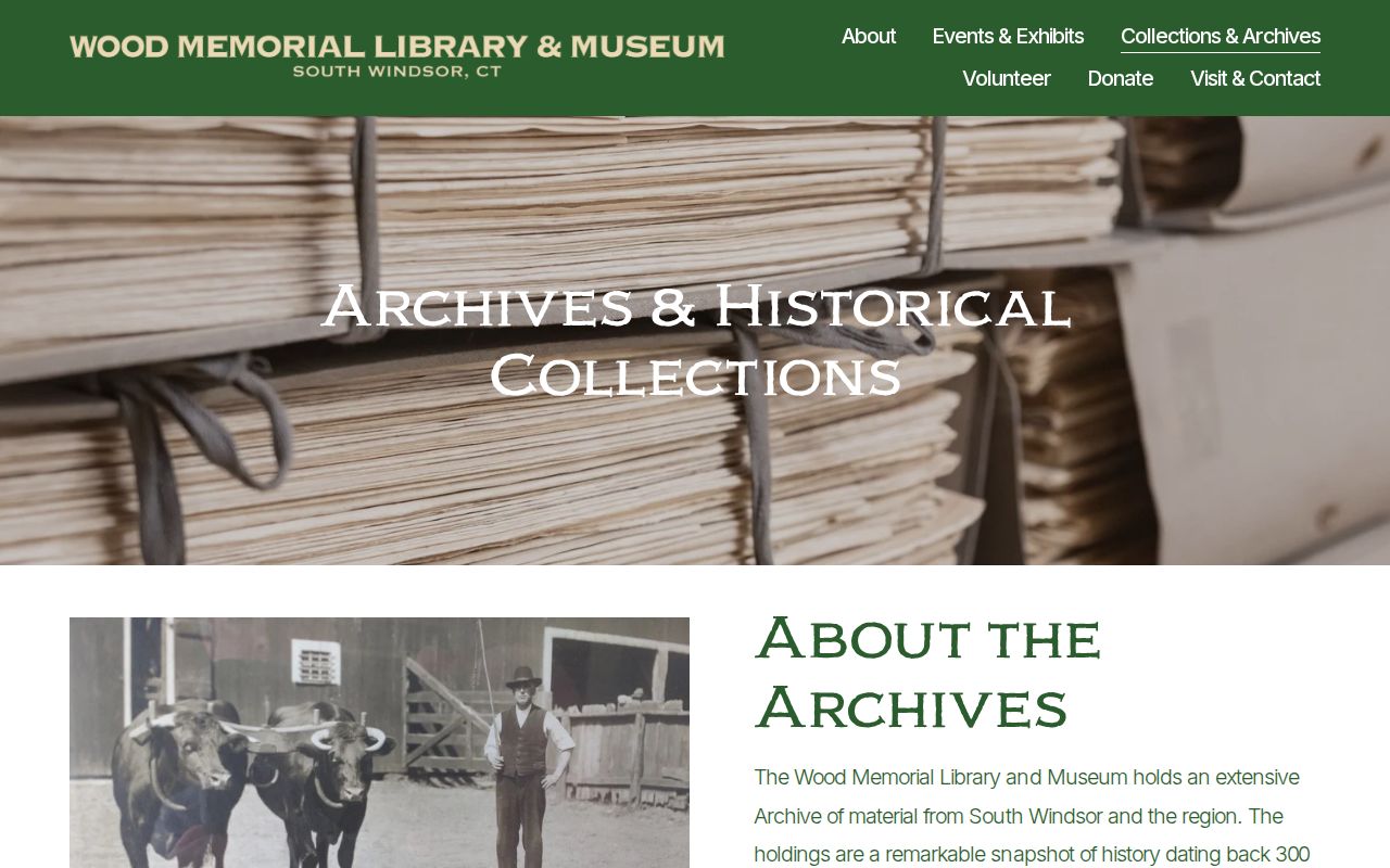
The capture reflects a local archive fallback when a regional directory or online index does not cover the address.
South Windsor GIS Aerial Time Slices
MapXpress supplies aerial and base layers for 1946, 1956, 1966, 2005, 2009, 2012, 2016, 2019, and 2023. Compare the same parcel across those images to see when a structure, road, long lot, or subdivision appears to change. An aerial cannot name a former resident or prove ownership. It can narrow the date for a permit, recorded map, directory, or deed search.
Sanborn needs extra care. Library of Congress results located Windsor, Hartford County, map records, including 1921 and 1927/1947 items, but no verified South Windsor-specific LOC volume. The South Windsor GIS service list includes a layer labeled 2016 Sanborn. Until the Town GIS office confirms the source, describe that as a modern GIS layer label, not a scanned historic insurance sheet.
Use aerial context with the 1908 sample, Main Street long lots, surveys, permits, and legal descriptions. Physical clues do not name a resident.
Obituary, Probate, and Plan Endpoints
Some previous residents disappear from the directory trail because they moved, died, changed a name, or became part of an estate. A known death date can lead to an obituary, cemetery record, death certificate, or Greater Windsor Probate case. Probate may name heirs and fiduciaries, while an obituary may give a last residence or family link. Neither is a complete list of everyone connected to the address.
Modern plan records add a separate endpoint. South Windsor building material says digital building plans are available for projects since January 1, 2020. ViewPoint uses an account, permit type, required fields, digital signature, attachments, Save and Exit, and status email. Older permit-history fields and a complete searchable code-case index were not located, so Building, Planning, Fire Marshal, or FOIA requests may be needed.
Ask a library, society, Town Clerk, or probate clerk about the record date and copy route. Preserve a negative finding as a gap, since an absent online obituary or plan does not prove that no earlier household existed.
South Windsor Previous Residents Lawful Use
House history is useful when tied to records, dates, and a lawful purpose. Deeds, directories, census schedules, and archive material are not a basis for monitoring a living person.
House-history boundary. Use records about South Windsor previous residents for genealogy, stewardship of a property, estate research, and local history. Do not use an address trail to stalk, harass, threaten, or track anyone.
When an error appears, contact the office that created the record. The Assessor handles property-card questions, the Town Clerk handles land-index issues, the library or archive handles collection interpretation, and the court or probate clerk handles case access. A clear source trail makes a correction request more useful than a broad claim that a directory is wrong.