
Finding South Windsor Streets by Address
A South Windsor street directory search should begin with an address, not a guess about who lives there. MapXpress supplies the parcel and account bridge. The Assessor card supplies the owner, mailing line, situs, and property facts. The Town Clerk land index supplies the grantor and grantee trail. The voter lookup can provide a separate registration check, while a regional reverse directory can place a past occupant at a street number. Each step answers a different question.
- Enter the house number and street in MapXpress. If the address fails, try the owner name, account, normalized street spelling, or map browse.
- Open the owner or property card. Save the account, owner, mailing line, situs, map or lot key, book/page, build year, land use, and property-card link.
- Search the Town Clerk or RECORDhub index for that owner as grantee. Read the deed's grantor, legal description, recording date, and book/page, then use the prior seller as the next search name.
- Run a public voter check only as an independent address clue. Record the result fields and status shown, while allowing for protected voters and the fact that a voter record is not an owner list.
- Switch to a street section or reverse directory for an older occupant. Search South Windsor, East Windsor, Windsor, and local place names when the modern street spelling does not match the historical volume.
South Windsor Street Directory Search Fields
The South Windsor MapXpress search has a simple address mode and an advanced property mode. The simple route accepts a name, house number and street, or account. The advanced route filters parcels by street and property traits. It does not expose ZIP as a field, so a request for all 06074 parcels must be built from an address set and then checked against parcel accounts.
The MapXpress search dialog and advanced search provide the field set below. Street options are dynamic, and the full list was not exportable during inspection. A last-name search works best in the classic name mode.
| Field or control | Mode | What it does | Important limit |
|---|---|---|---|
| Name | Simple | Finds an owner-name match | Same names need parcel confirmation |
| House No | Simple | Starts an address search | House number is text in the classic form |
| Street | Simple and advanced | Uses the South Windsor street selector | Complete live option list is dynamic |
| Account | Simple | Finds an account or MBL-style key | Printed account widths vary |
| Land Acres > | Advanced | Sets a greater-than acreage filter | Property filter, not a resident field |
| Land Use | Advanced | Chooses a town land-use category | Categories describe the parcel |
| Home Sq-Ft > | Advanced | Filters by building size | Greater-than threshold only |
| Year Built > | Advanced | Filters by recorded build year | Not a full structure history |
| Sale Year > | Advanced | Filters by sale-year threshold | Does not replace the deed index |
| ZIP | Not available | No ZIP field is exposed | Verify postal assignment with USPS |
The advanced form is useful for narrowing a street study, but a property filter never turns into a household roster. Save the search date and the account that led to the card, since portal fields and parcel layers can change.
The Vision welcome screen is the town's other property-search entry point for the South Windsor street directory.
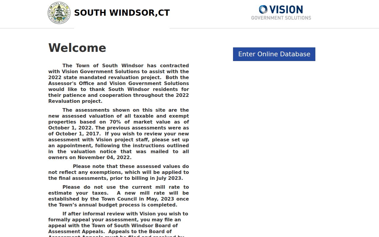
Vision and MapXpress should be read as related assessor and GIS routes, not as proof that every historical owner or current occupant appears online.
South Windsor GIS Layers and Aerials
MapXpress lets a street search move from one parcel to its surrounding map. Search, Select, Parcel Information, Print Map, View Legend, and the zoom and measure controls help preserve the location of a result. Parcel popups can link to details, a quick map, property card, Vision, FEMA, and street view. The map is for assessment and property information, not a legal survey or conveyance.
Layer controls add Address Points, zoning, school and voting districts, historic district, landmarks, open space, wetlands, FEMA, pavement, elevation, and utility context. Color aerials are available for 2023, 2019, 2016, 2012, 2009, and 2005. Black-and-white layers include 1966, 1956, and 1946. Those years can reveal a road or structure change that points to a deed, map, or permit search, but an aerial cannot identify an owner.
The South Windsor interactive parcel viewer also exposes the Generate Abutters control. A selected parcel can be buffered by distance, with 100 feet as the observed default. The result is a nearby parcel query, not a street directory of all people physically present.
The MapXpress parcel viewer image shows the public map and its search context.
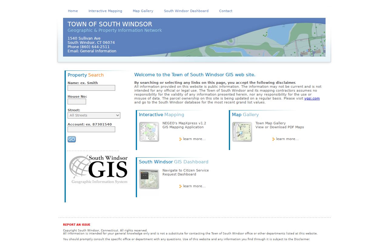
Keep the viewer date, scale, layer names, and account number with any saved map so another researcher can understand the same result.
South Windsor Owner, Mailing, Situs
The owner field identifies the person or entity assessed for the parcel. The mailing line tells where tax correspondence goes. The situs identifies the physical location. A legal description and recorded map describe the land itself. A voter residence and a directory address are separate dated facts. Mixing these fields is the fastest way to turn a South Windsor street directory into an unsupported claim about a household.
The inspected Historical Society card is a useful South Windsor example. The property location is 771 Main Street, while the owner is SOUTH WINDSOR HISTORICAL SOCIETY INC. The mailing/address lines show 771 Main Street and 771 Ellington Road. The card carries account 9741, MBL 54900771, PID 45-45, book/page 2395/0262, and building year 1908. The card image describes a parcel record, not a resident list.
- Parcel
- A mapped land unit tied to an account, map key, or legal description.
- Situs address
- The physical location used to identify the property on the ground.
- Plat
- A recorded map that shows lots, roads, or parcel relationships and can bridge a changed address.
- Criss-cross directory
- A historical reverse section arranged by street and number, often used to identify a dated occupant.
If the mailing line names an organization or another address, use the situs and legal description for parcel research. Do not assume that the card names every person who visits, cares for, or shares the property.
South Windsor Street Directory Coverage
Address-keyed records overlap, but each record set has a different purpose. A street study is strongest when the parcel account, legal description, dated record, and source custodian stay in view. The table separates the questions that can be answered from the questions that still need a clerk, archive, or a different record type.
| Street question | Best record | Capture | Limit |
|---|---|---|---|
| Who is assessed? | Vision or MapXpress card | Owner, mailing line, situs, account, use, building facts | Owner is not every occupant |
| Where is the parcel? | MapXpress GIS | Geometry, address point, layers, aerial context | Assessment map, not legal survey |
| Who conveyed it? | RECORDhub or deed book | Grantor, grantee, date, book/page, legal description | Images and cutoff need account or counter check |
| What changed at the site? | ViewPoint, Building, Planning, Fire | Permit, application, inspection, plan, occupancy timing | Public historical fields are incomplete |
| Who registered there? | State voter lookup or file | Public status, party, polling result, or regulated file | Protected records and purpose limits apply |
| Who appeared there before? | Reverse directory or census | Address occupant, household, trade, and year | Regional coverage and old town labels vary |
| What is beside it? | GIS buffer or parcel map | Adjacent parcel accounts, owners, and layers | Not a roster of nearby people |
Use the account and legal description as the thread. A street name may remain while lots split, maps change, or a record moves from a town book to a state index.
South Windsor Deed Chains and PropertyCheck
The Town Clerk and Cott Systems RECORDhub supply the deed path behind a South Windsor street directory. Start with the current owner as grantee, open the instrument when available, then search the grantor as the next grantee. Keep the recording date, document type, book/page or number, legal description, consideration or remarks, and related names. If a subdivision, lot split, easement, or road change appears, use the recorded map and predecessor lot instead of trusting the street text alone.
The RECORDhub gateway requires site selection and an account for free index access. Images and printing are paid, and older books or missing fields may require the Town Clerk counter. The exact online cutoff and full live field set were not published in the inspected material. A deed chain is an ownership trail, not a list of all people at an address.
The RECORDhub gateway capture shows the Cott Systems route used for South Windsor land records.
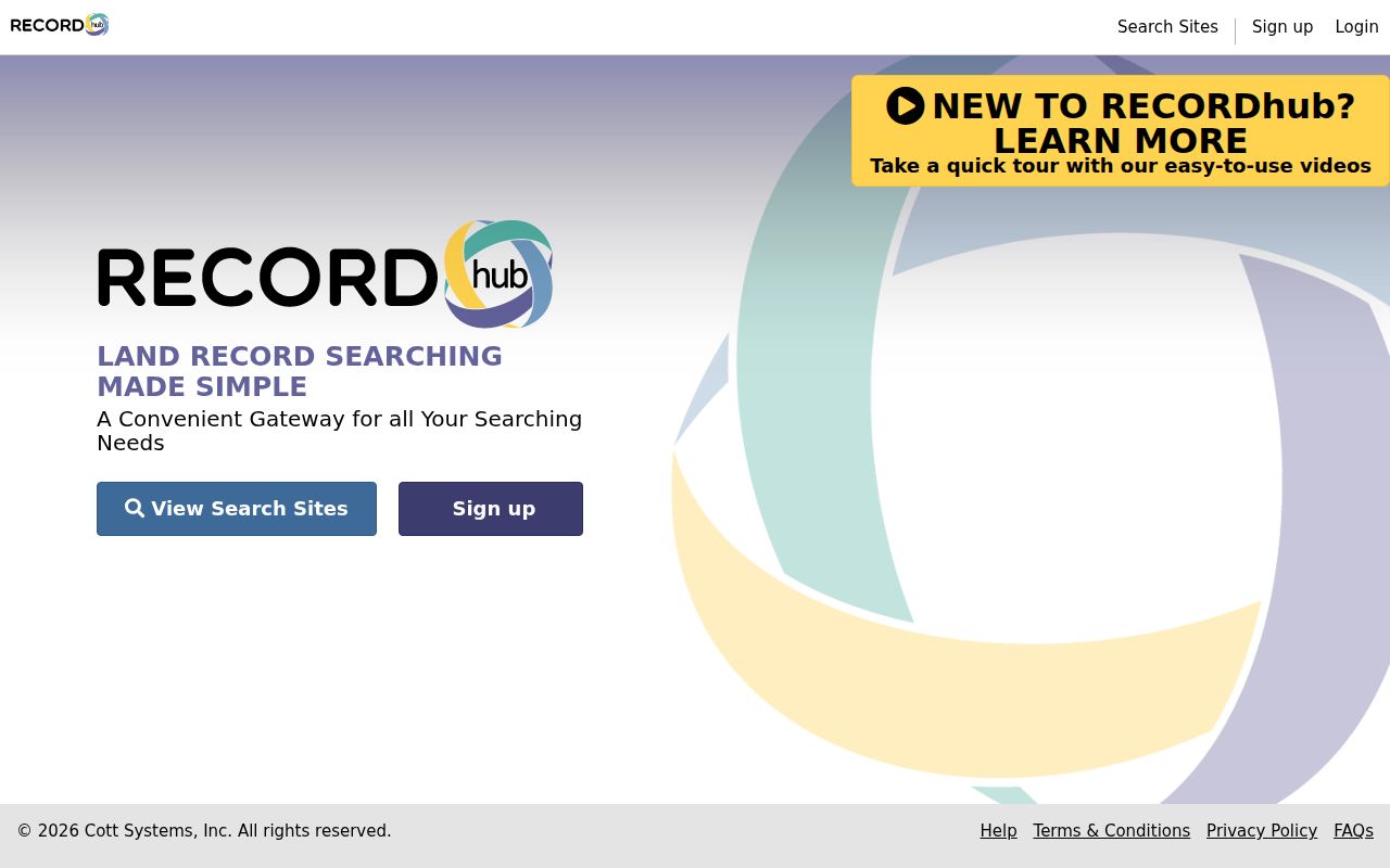
PropertyCheck is the forward-looking complement. A free name alert can send email or text notice when an official land record matches, but it does not reconstruct a prior chain or certify a title.
South Windsor Permits by Address
South Windsor's ViewPoint Cloud route begins with an account, email, and password. Choose Land Use, select the permit type, complete the required fields and digital signature, attach plans or specifications, then use Save and Exit. The portal sends confirmation and status or comment notices. Public historical result fields and the full coverage span were not located, so an empty search does not establish that no older permit exists.
Planning categories include signs, accessory apartments, farmstands, mobile food vendors, outdoor dining, animal agriculture, zoning compliance, temporary healthcare structures, and complaints. Fire Marshal records include blasting, tents over 100 occupants, pyrotechnics or special effects, special events, carnivals, fairs, and plan review. Digital building plans are available for projects since 1/1/20, which is a plan-copy cutoff rather than proof that all permit records begin then.
The Building Department copy policy states that an off-site plan view has a flat $125 fee before an order, with paper or electronic copies adding a third-party charge plus 25%. Original sets cannot be dismantled, and a request covers the entire set. Use the ViewPoint portal, then ask Building, Planning, or Fire for the correct record and copy route.
South Windsor Voter Layer Limits
The Connecticut public voter lookup is a person and town match, not a public street browse. A result may show registration status, party, polling place, and participation information, but it does not show ballot choices. PA 26-1 §96 keeps birth month and day exempt while birth year is released in the public-record context. That can help distinguish names without exposing a full date.
Protected voters and Safe at Home participants may have street or house information suppressed. The statewide voter file is a separate written $300 CSV request with election, scholarly, journalistic, political, or governmental purpose limits. The file is not a general South Windsor street directory. When the goal shifts from a road to one person, the South Windsor Resident Lookup page gives the cross-record identity workflow.
A voter registration address confirms a qualifying registration record at a point in time. It does not prove property ownership or every household member's presence, and an inactive or recently changed record needs a date check.
South Windsor Reverse Directory Around 1920
Regional Hartford volumes supply the older street layer that a modern parcel map cannot. The State Library describes a combined format that appeared around 1920: an alphabetical name section and a street or number section. The name half can reveal a move. The street half can reveal a person who was at an address without being the recorded owner. Search both halves in the same edition before treating a hit as a household fact.
Use the regional leads with care. South Windsor appears in Dau's blue book years 1907, 1909, 1911, 1913, 1915, 1918, 1919, and 1922, as well as Hartford suburban and house-directory leads. The 1901 Geer's item includes the OCR phrase "Ahern Thomas, South Windsor," but OCR can lose initials, punctuation, and the difference between a town label and a full street address. The South Windsor Directory Book has the collection table and image links.
Search older place terms beside the street name. A volume may say East Windsor, Windsor, Wapping, or East Windsor Hill when a later card says South Windsor.
South Windsor's 1845 Address Labels
South Windsor became a separate town from East Windsor in May 1845, and the line survey was recorded October 4, 1845. A nineteenth-century parcel or person can therefore sit under Windsor, East Windsor, Windsor Farms, East Windsor Hill, Wapping, Long Hill, or Vinton Mills. Those names are search tokens that help bridge a boundary, not substitutes for the town shown on a deed or census page.
No verified municipal street-renumbering or renaming project and year was located. MapXpress does show similar or duplicate-looking street options, including SHAG BARK ROAD and SHAGBARK ROAD, plus a trailing-space COTTONWOOD LANE variant and condo or PUD entries. Normalize spelling, then use account, map, lot, legal description, and old number ranges to test continuity.
A modern ZIP label also cannot be carried backward into a pre-ZIP record. The street directory trail should preserve the edition year and the exact town or neighborhood wording printed in the source.
Limits of the South Windsor Street Directory
A street directory cannot promise the names of current household members, utility customers, delivery recipients, or every person who uses a property. Assessor mailing lines describe tax correspondence. Deeds identify named parties to instruments. GIS abutters return parcels within a distance. Voter records cover qualifying registrations and can suppress protected addresses. Connecticut DMV personal address information is closed under C.G.S. §14-10 and the DPPA.
When a portal ends, use the actual custodian: Town Clerk for land records, Assessor for parcel corrections, Registrar for voter questions, Building or Planning for address-keyed permits, and a library or archive for older directories. A narrow Connecticut Freedom of Information Act request may reach a non-exempt record, but it cannot override a specific closure or safety rule.
Lawful personal use. South Windsor street and address records may support careful personal research. Do not use a name, address, map result, or record chain to stalk, harass, intimidate, or harm any person.